Improving Oceanic Coordination
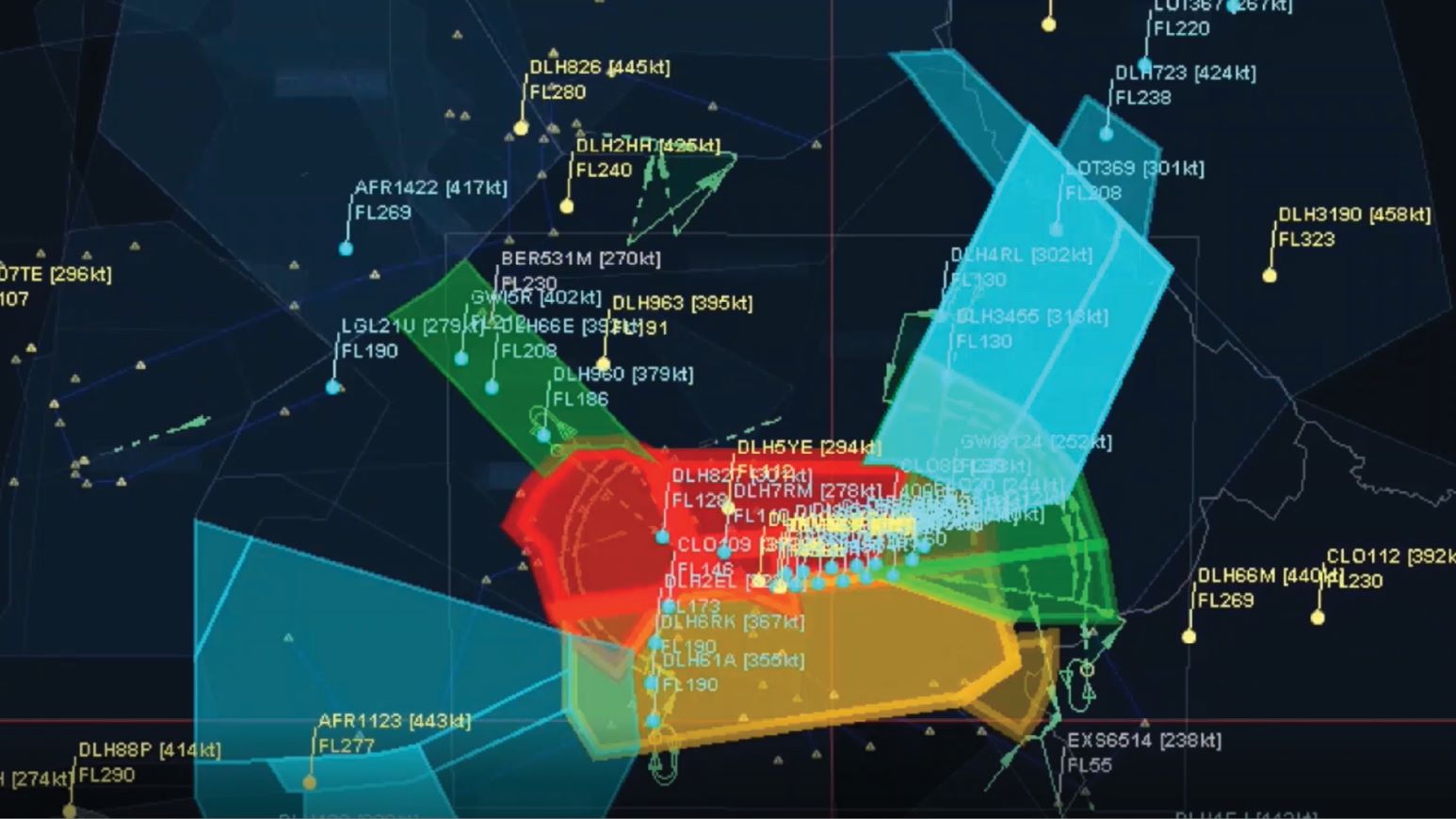
ADS-B is enabling surveillance and efficiencies for oceanic traffic to a much greater extent than ever before.
Transoft Solutions is a global company offering specialised software and services for the aviation industry.
You have successfully submitted your enquiry. Someone from our company will respond ASAP

Terminal-to-terminal fast-time modelling and simulation
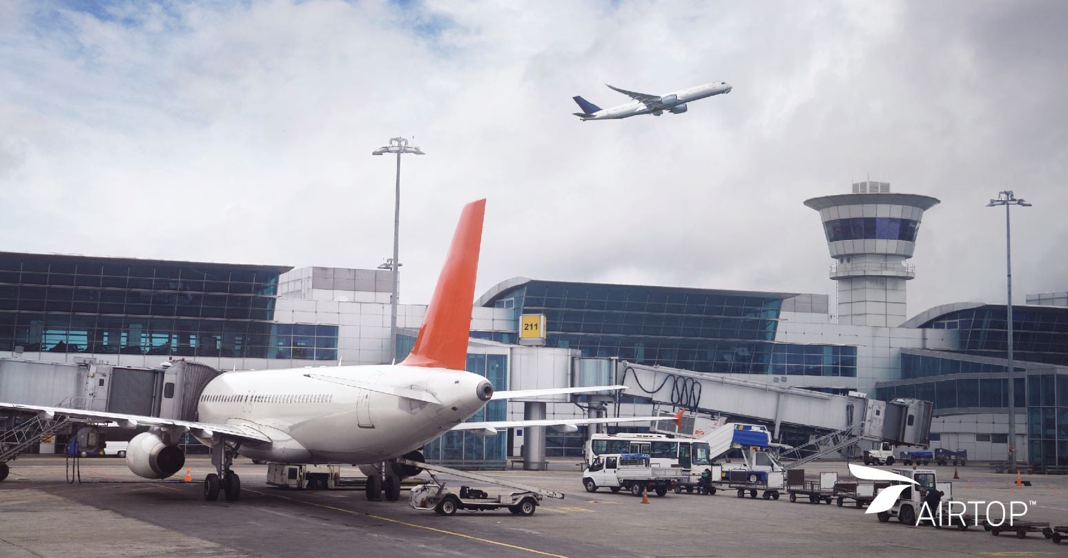
AirTOP, the leading airport and airspace simulation software, is a comprehensive suite of tools to model, simulate, and visualize airport and air traffic operations in fast-time. Created by experts who understand the challenges of managing airports and airspace, AirTOP lets you study the implications of infrastructural or operational changes before investing in costly and time-consuming construction projects or altering procedures. Confidently make decisions that translate into safe, efficient, and cost-effective operations.
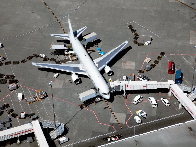
Use AirTOP to measure terminal, airside, or airspace capacity, pinpoint delays, determine the impact of revised flight schedules, simulate new operational procedures, assess air traffic controller workload, and more. Using integrated, multifaceted functions, assess individual aspects of all airport and airspace operations or run complete terminal-to-terminal analyses.

Trusted by consultants, airports, air navigation agencies, research institutes, and regulatory bodies around the world, AirTOP employs rule-based modelling (you provide the inputs based on your unique situation) to create simulations of multi-agent scenarios and events. AirTOP provides fast-time results, running hours of procedures in mere minutes, so you can quickly and effectively assess outcomes of different scenarios.
AirTOP is a modular platform, offering the flexibility to license modules to suit your project requirements. The modules, Airside Aircraft, Airside Vehicle, and Terminal, allow the simulation of aircraft or support vehicles on the ground, or passenger movements within the terminal, while Runway Capacity helps you assess your runway capacity. Evaluating and managing airspace operations from airport to airport is achieved with the TMA/TRACON, En Route, and Flow Management modules.
The fully integrated AirTOP WIZer ACC module brings the benefits of fast-time simulation to real-time operations.
Benefits
Customise data for better decision-making
AirTOP data is highly customisable and can be extracted and visualised using hundreds of built-in reports or exported as spreadsheets or SQL databases for presentation to stakeholders. Create videos of simulations to portray the impacts of different scenarios to decision-makers. The project management tool allows users to define scenario variants while avoiding data duplication.
Visualise the problem, and the solution, in 2D and 3D
Seeing a problem often makes it easier to identify solutions. To test different scenarios and measure impacts, AirTOP accurately simulates all user-defined airport and airspace operations, as well as rules, multi-agent tasks, and behaviours. A single graphical user interface provides easy scenario editing, as well as viewing of simulations in 2D and 3D. AirTOP features an easy-to-use integrated map-based application containing GIS capabilities to allow a flexible background display of scanned maps, aeronautical charts, or vector data, weather data, satellite images, and elevation data.
Purchase only the modules you need
AirTOP modules integrate on a common platform to offer a scalable feature set. An airport project may begin with the Airside Aircraft module, and as operations grow in size or complexity, additional modules such as Airside Vehicle or TMA/TRACON can be added to extend the software’s capabilities.
Make better, more-informed decisions
Complicated decisions involving multiple moving parts require more than a simple spreadsheet. When considering making changes to airport or airspace operations or infrastructure, AirTOP assists with informed decision-making. Accurately model any airport or airspace operation and run fast-time simulations of complex scenarios to test options and examine all the ‘what-ifs.’
Get the most out of airport and airspace operations and capacity
At an airport, delays of minutes and the associated knock-on effects can translate into impacts on the bottom line. AirTOP’s broad spectrum of tools allows users to assess how scenarios impact various aspects of airport operations, and how decisions play out in terms of costs and efficiency.
Modules
AirTOP Terminal
Before considering implementing a new terminal layout or revising operational systems or processes, use AirTOP Terminal to weigh options, assess design choices, and evaluate constraints. Airport designers, planners, operators, and airlines use AirTOP Terminal to:
*This feature includes software developed by choco-solver.org.®
AirTOP Airside Aircraft
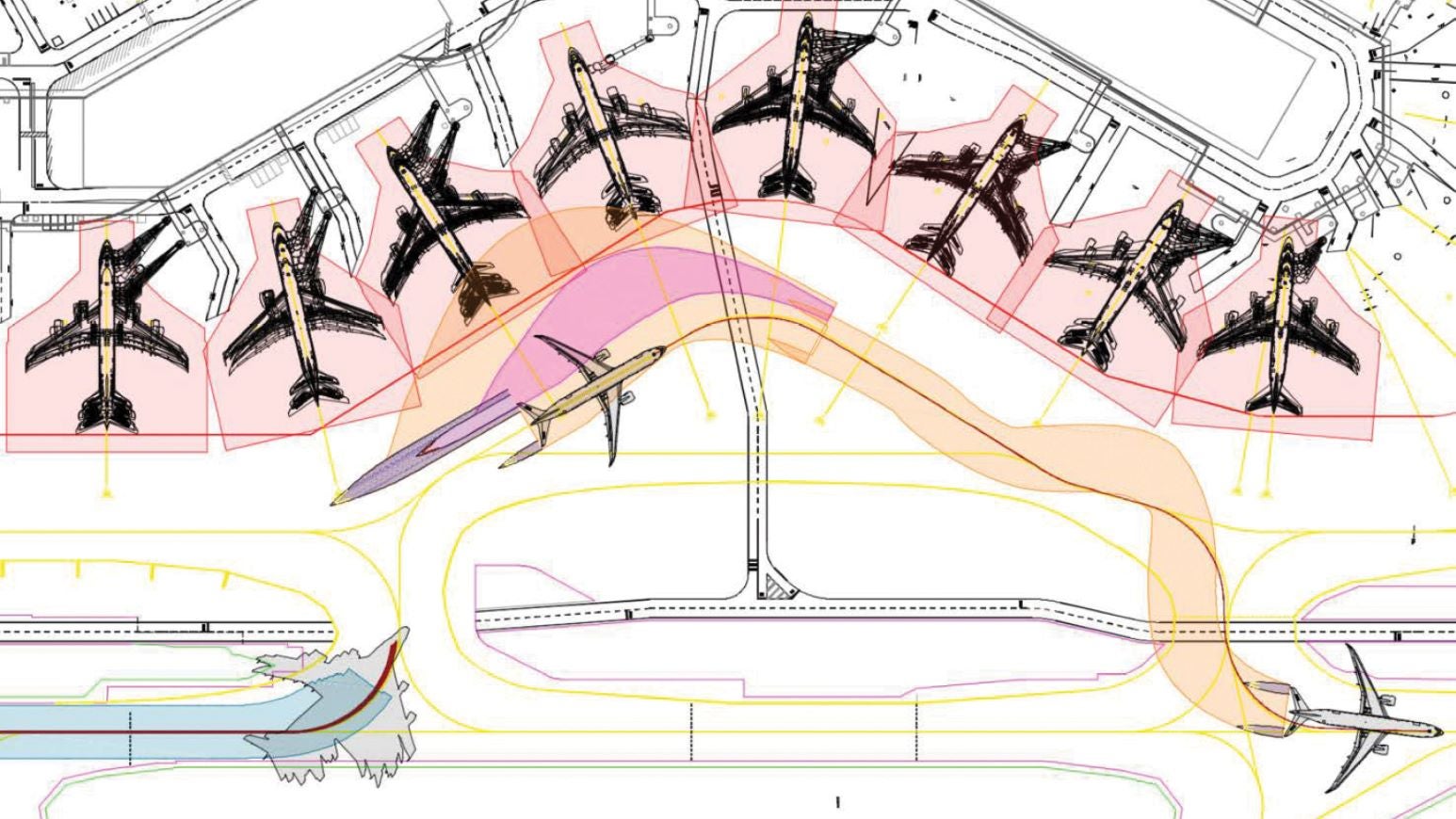
Redefining aircraft taxi routes, closing infrastructure for maintenance purposes, or changing runway modes of operations can result in operational bottlenecks that cause delays and affect the bottom line. AirTOP Airside Aircraft allows you to visualise potential choke points and test alternative scenarios to assess and improve airport capacity.
Using the integrated 2D and 3D graphical user interface, you can create, simulate, and compare detailed airside layouts, along with performance indicators such as fuel-burn, taxi-time, or runway queues. Often used by airport authorities, operators, and aviation consultants, AirTOP can model rule-based scenarios including:
AirTOP Airside Vehicle
Compare the safety and performance of alternate airport layouts, understand delays, evaluate vehicle fleet size, or demonstrate the effects of ground support equipment (GSE) on capacity and level of service when you simulate ground-support vehicle movements with AirTOP Airside Vehicle. With customisable vehicle performances (speeds, fuel consumption, emissions, etc.), use AirTOP Airside Vehicle to determine:
Simulate, validate, test, and optimise airport and air traffic operations
AirTOP Runway Capacity
Whether considering the construction of a new runway, assessing current runway performance, or determining the potential for adding flights to existing runways, AirTOP Runway Capacity helps you identify the best options to:
AirTOP TMA/TRACON
AirTOP’s TMA/TRACON module helps airports understand their airspace capacity issues and delay factors, along with the required manoeuvres to safely maximise capacity. It supports all key airport approach and departure procedures while realistically simulating all aircraft movements in the airport’s airspace and required departure/approach controller tasks.
Use AirTOP to:
AirTOP En Route
AirTOP En Route is geared towards agencies and airports to simulate the complexity and capacity of upper airspace and model necessary separation procedures. It provides realistic en route simulations and supports all key en route structures and controller tasks, as well as static or dynamic restrictions related to them, to:
AirTOP Flow Management
AirTOP Flow Management combines the capacities of AirTOP TMA/TRACON to model the airspace in the close vicinity of airports and those of AirTOP En Route to simulate airport-to-airport traffic. Used by those with complex airspaces, it facilitates 4D Trajectory Based Operations, a key component of the US Next Generation Air Transportation System (NextGen) and Europe’s Single European Sky ATM Research (SESAR) and supports:
The capacity of AirTOP Flow Management to quickly process and analyse huge data samples and the ability to present tailored performance indicators make it the state-of-the-art air traffic flow and capacity management (ATFCM) model. It is the ideal choice for research projects, the strategic system-wide analysis of flow and capacity, or for developing scenarios of standard solutions and playbooks.
AirTOP Flow Management is used by EUROCONTROL and the FAA for large-scale modelling of traffic covering entire continents or oceans.
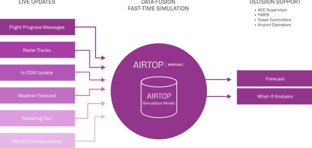
AirTOP WIZer ACC
AirTOP WIZer ACC brings the power of fast-time simulations to real-time operations. Acquiring real-world information, such as data on traffic, aircraft locations, weather, and more, this powerful connectivity tool, securely integrates with airport and air traffic control systems to provide detailed, up-to-the-minute forecasts of air traffic demand, traffic complexity, and controller workload.
Forecast data is displayed to the user in a graphical interface (charts, tables, 2D and 3D views, etc.) to highlight when demand is forecasted to exceed capacity. These forecasts support ACC supervisors and flow managers to make real-time forecasts and what-if analysis decisions.
WIZer ACC can:
For more detailed information on how AirTOP WIZer ACC can assist you with up-to-the-minute forecasts of air traffic demand, traffic complexity, and controller workload, contact Transoft Solutions.
ADS-B is enabling surveillance and efficiencies for oceanic traffic to a much greater extent than ever before.
Charlotte Douglas International Airport continues its ambitious growth plans, but its long-term strategy has had to adapt to restrictions in both space and cost. Using an innovative solution from Transoft Solutions, architecture and engineering consultant RS&H has devised a strategy to get more from less.
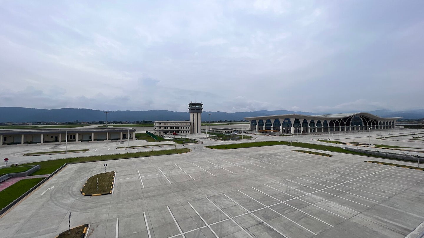
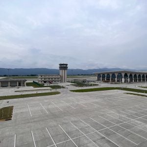
The Pokhara Regional International Airport in Nepal began operations in January 2023.
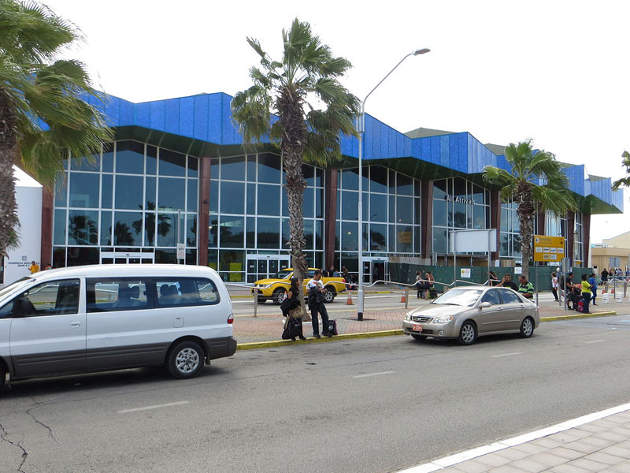
Owned and operated by Aruba Airport Authority (AAA), the Queen Beatrix International Airport is the only airport serving the Caribbean island of Aruba.

Orlando International Airport, the second busiest airport in Florida, US, with an annual passenger capacity of 38.8 million, is about to launch a major development project to handle increasing passenger numbers.

Aeroports de Montreal (ADM), the company responsible for the management, operation and development of the Montreal-Trudeau International Airport in Canada, officially opened the expanded international terminal area at the airport in May 2016.

Located a few miles from Willemstad, the capital City of Curacao Island, in the southern Caribbean Sea, Curacao International Airport is one of the main airports in the Caribbean and an important passenger and cargo hub for the Southern Caribbean region.

Tom Jobim International Airport, earlier known as Antônio Carlos Jobim/Galeão International Airport, is the biggest and the second busiest international airport in Brazil.
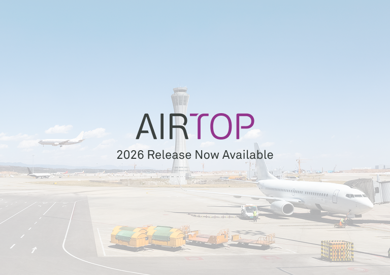
Transoft Solutions announces the release of AirTOP 2026, the latest annual update to its fast‑time simulation software for airport and airspace operations.
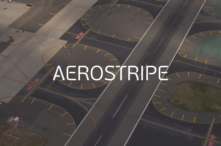
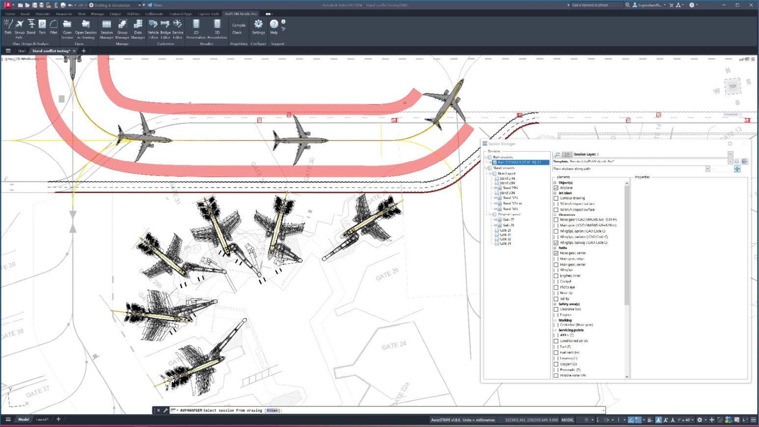
Transoft Solutions releases AeroSTRIPE 2026, the latest version of its specialized airside design and marking software.
Transoft Solutions introduces AviPLAN 2026, the latest version of its airside planning and design software.
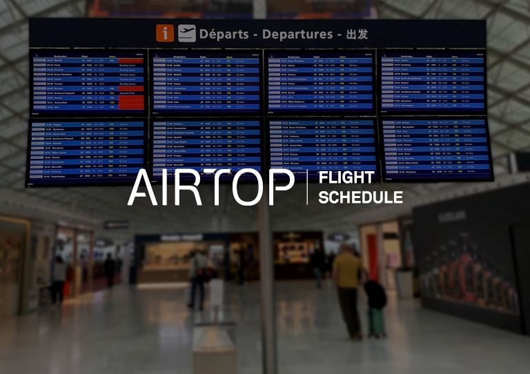
The new AirTOP Flight Schedule module is designed to streamline the creation and modification of Design Day Flight Schedules (DDFS).

Transoft Solutions is a leading developer of aviation and transportation software and has announced the release of AirTOP 2025.
SkySAFE 2025 introduces advancements to enhance its capabilities and align with industry developments.
AviPLAN 2025 introduces several new features and enhancements that expand its design and planning capabilities.
The software's capabilities allowed for efficient modelling and validation of design iterations, ensuring safety and maximising space.
AirTOP WIZer is an effective tool for managing information in an Area Control Centre (ACC).
Sharing operational and infrastructural information between airside planning and operations, without losing crucial details, can be a challenge.
This strategic move is part of our ongoing commitment to growth while providing a contemporary space for our team members.
Transoft’s new entity in France will also sustain sales, business development, and technical support activities in France, and other French speaking countries within Europe and Africa.

Discover the power of AeroSTRIPE, Transoft’s intelligent airside marking design software, designed to streamline airfield marking processes.
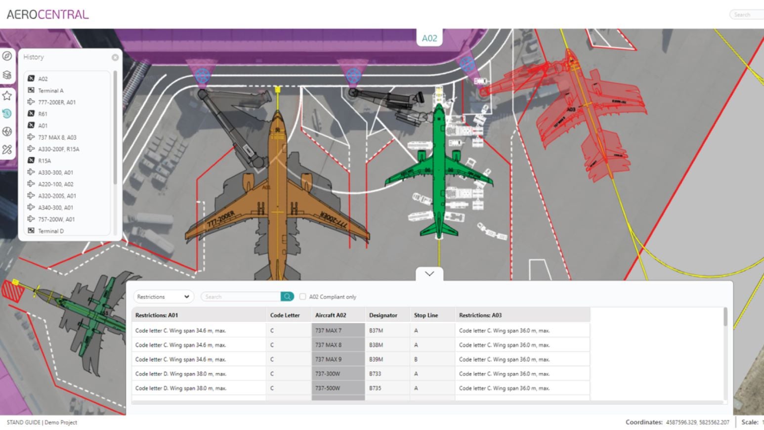
A new collaborative, cloud-based platform created by Transoft Solutions has the potential to transform the way airports around the world use and share airside operations information.
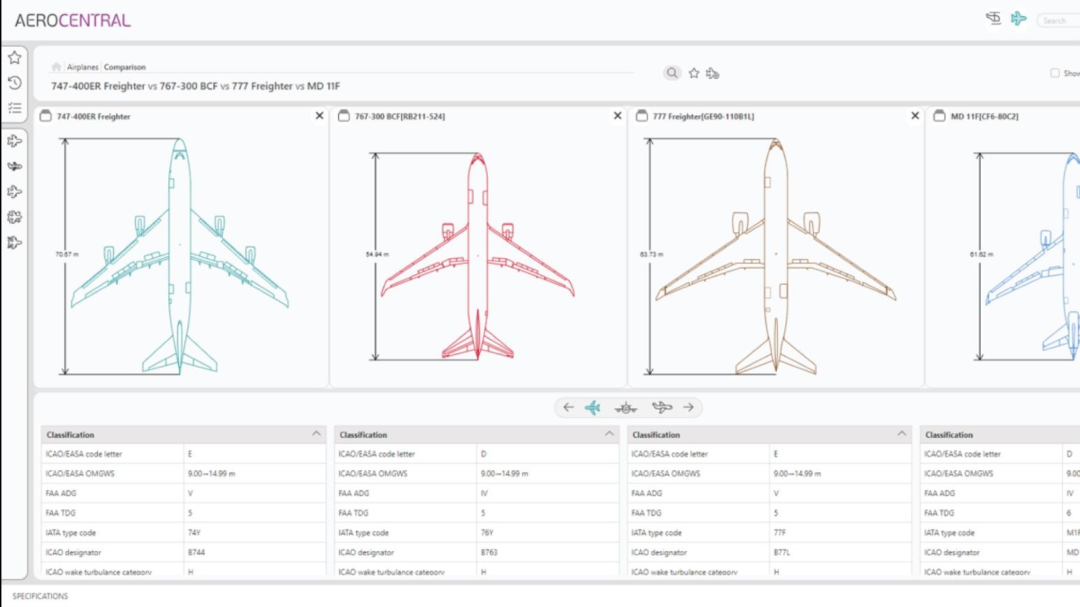
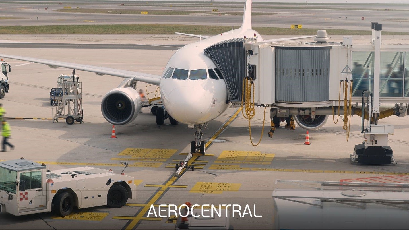
AeroCENTRAL is a cloud-native platform that makes it quick and convenient for airport planners and operations teams to publish and view key aircraft parking stand data.
Transoft Solutions, developer of productivity-enhancing software and services for aviation, civil infrastructure, transportation, and traffic safety industries, announced a new addition to its aviation product portfolio that bridges the gap between airside planning and operations.
In the live webinar, you will see a typical workflow to create the airport runway environment, complete with protected surfaces and zones to be evaluated against natural or man-made obstacles for mitigation planning.

With its impressive libraries of both ICAO and FAA markings, standard road text markings, and pre-drawn symbols, AeroSTRIPE offers a range of features for airside marking projects.

AviPLAN offers a comprehensive suite of tools that allows users to plan with confidence, whether considering near-term scenarios or master planning.
AirTOP 4.0.1 is now available with a minor update, including new and improved features, performance enhancements, and bug fixes.
Transoft Solutions, developers of productivity-enhancing software and services for aviation, civil transportation, and traffic safety industries, announced the acquisition of Anexea, a privately-owned company located in Madrid, Spain.
In a live release webinar, Transoft Solutions unveiled the new features available in version 2.2 of its obstacle clearance and limitation tool, SkySAFE.
AviPLAN 3.0, the latest edition of Transoft Solutions’ CAD-based airside planning, design and operations tool, was launched globally on 28 May.
Advanced airspace and airport modelling software from Airtopsoft have been added to Transoft’s expanding portfolio of aviation solutions.

Plan and design safe airside operations with the ultimate aircraft maneouver and parking stand simulation and visualisation tool.

Design and edit complex airside markings quickly and within the permitted minimum and maximum standards.

Analyse existing or potential obstacles in an airport's surrounding environment to meet regulatory guidelines.

Make informed decisions with fast-time airport and airspace modelling and simulation software.

A centralised online platform for sharing airside infrastructural and operational information.
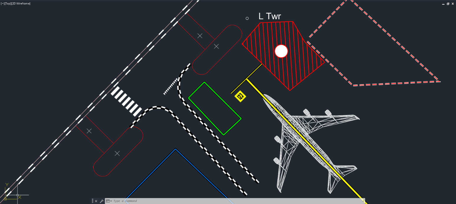
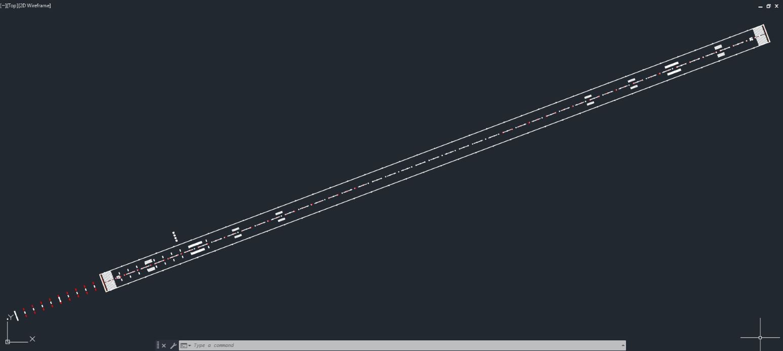
AeroSTRIPE is an AutoCAD-compatible tool for quickly designing, visualizing (including in 3D), editing, and quantifying compliant airport runway, taxiway, and apron pavement markings using comprehensive ICAO/EASA/FAA libraries.
Airport and Airspace Fast-Time Simulation Software
Airside Planning, Design and Operations Software