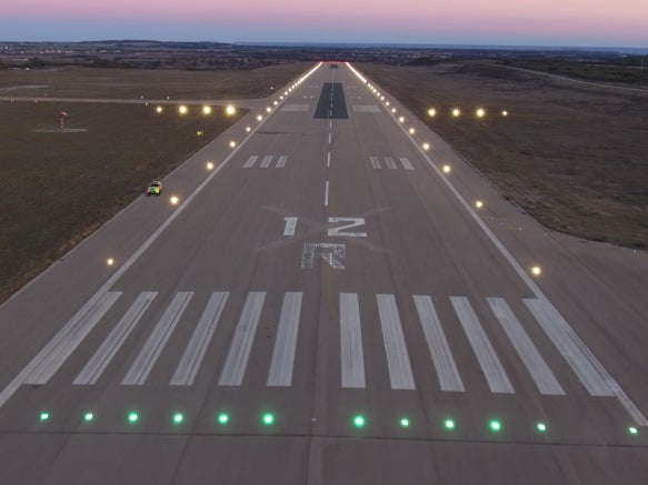
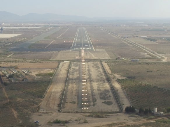
ILS Measurements

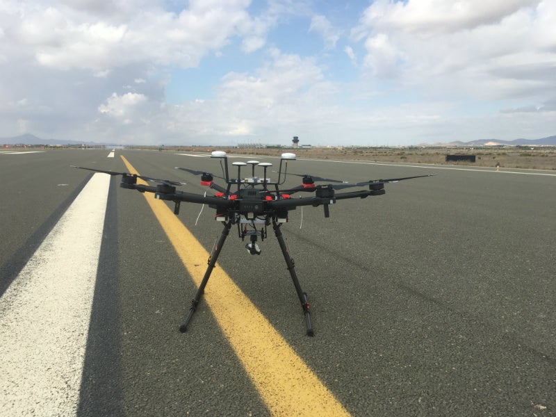
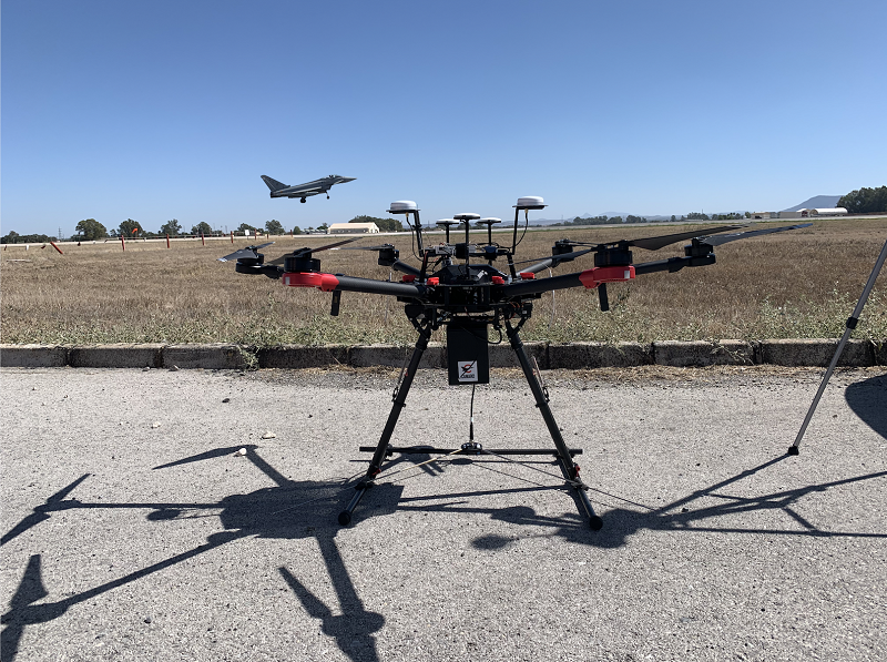
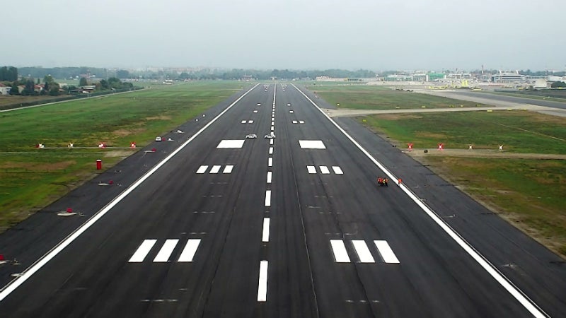
CANARD’s instrument landing system (ILS) measurement drone system supports the commissioning, maintenance and calibration of localiser and glideslope facilities.
By taking over part of the measurements and procedures, the time and cost of the ILS maintenance activities are reduced. Our drones use precise satellite positioning with centimetre level accuracy to achieve the required precision in their measurements.
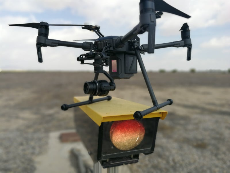
CANARD offers a revolutionary tool for the commissioning, maintenance and calibration activities of ILS facilities. By integrating an ILS signal measurement device in our RPAs, we are able to provide parameters such as DDM, SDM, frequency offsets or field strength. These parameters are geolocated with cm level accuracy thanks to the precise satellite positioning system of our RPAs.
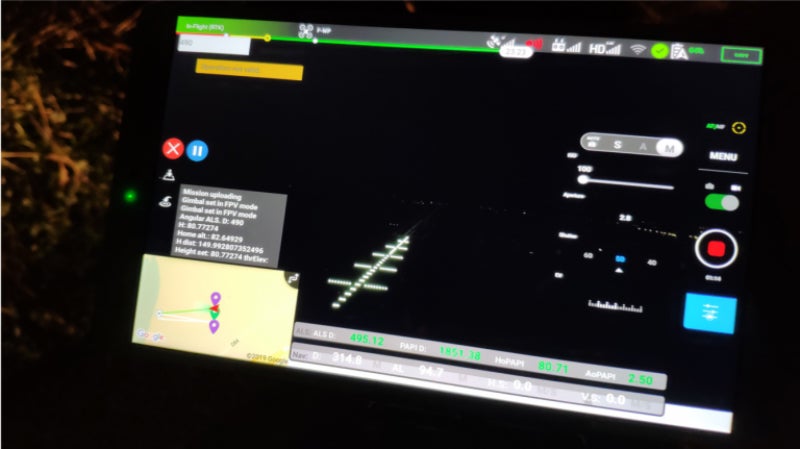
With this data, we can generate reports and graphs with the same measurements that are currently being used by ILS maintenance and inspection technicians, such as:
- Course alignment
- Slope angle
- Nominal width and displacement sensitivity
- Alarms
We pair this hardware solution with our software tools for mission planning, data processing and asset management.