AirMap- Airport Visualisation Platform
AirMap is an airport visualisation platform that supports operators, allowing them to keep track of what is happening across the airport. An interactive map of the airport is used to display all relevant information, providing an overview of the airport and surrounding area. The platform can be used simultaneously by multiple users including operators, security, customs, or the fire brigade.
Any user on the system can update, delete, or share data instantly with other clients, providing stakeholders with immediate access to updated information. This creates a ‘Common Operating Picture’ (COP) that increases situational awareness, leading to improved decision making, increased safety, and a more efficient airport.
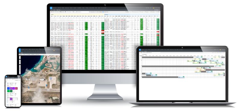
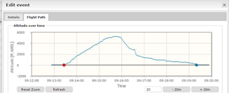
AirMap uses graphics to present a visual representation of data, making it easy to understand and analyse. The system can be used as a stand-alone product or integrated into existing airport system architecture. Optimised for touch screen interaction, AirMap lets users interact with the map or update information by tapping or dragging the screen. It is also fully compatible with any normal Windows PC.
In case of network outages, AirMap will remain operational as it is not a web-only application. This means staff still have access to information if the internet connection is ever lost.