

UK air traffic control provider NATS has launched a new app to help drone operators keep away from airports, in a bid to reduce air traffic disruption.
Discover B2B Marketing That Performs
Combine business intelligence and editorial excellence to reach engaged professionals across 36 leading media platforms.
The new Drone Assist app provides unmanned aerial vehicle (UAV) users with an interactive map displaying areas of airspace used by commercial aircraft.
Pilots flying their drones near airports and airfields will be able to refer to the map to avoid certain locations or fly with more caution in order to prevent collisions with aeroplanes.
NATS drone lead Phil Binks said: “With the number of drone incidents on the rise, it’s clear that many people are unaware of the rules or their legal obligations as pilots.
“Drone Assist is designed to help everyone abide by the rules, identify areas of controlled and restricted airspace and help them enjoy flying whilst ensuring their safety and the safety of other airspace users.”
Developed in partnership with English aerospace company Altitude Angel, the Drone Assist application can be used for free by Android and iOS users.
It features a ‘Fly Now’ option that will enable drone operators to share their flight location with other app users and the larger drone community.
The added feature will also reduce the risk of drone-related incidents in the UK's commercial airspace.
Altitude Angel founder and CEO Richard Parker said: “Partnerships like this are an essential first-step to bringing together drone pilots and other stakeholders, all working towards greater airspace safety, and laying the foundation for a future where drones and manned aircraft can coexist without incident.”
Drone Assist also shows the location of hazards on the ground, such as schools, sports venues or power lines.
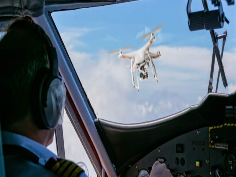
Image: Drone Assist helps drone pilots to fly with caution around airports and airfields. Photo: courtesy of NATS.
