
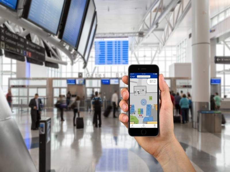

Houston Airport System, which manages airports in Houston, US, is set to launch a new wayfinding application on its official website.
Named Maps Online, the new product is developed by US-based company LocusLabs.
Go deeper with GlobalData

Discover B2B Marketing That Performs
Combine business intelligence and editorial excellence to reach engaged professionals across 36 leading media platforms.
George Bush Intercontinental Airport (IAH) and William P Hobby Airport (HOU) are claimed to be the world’s first airports equipped with the turn-by-turn way-finding technology.
The interactive map technology does not require downloading a separate app to smart devices and will enable travellers to easily access it from any device or browser.
LocusLabs co-founder and CEO Campbell Kennedy said: “We are proud to partner with Houston Airport System, whose innovative thinking is bringing IAH and HOU passengers the optimal digital travel experience in whatever channel or app they may be using.”
The wayfinding application features easy navigation tool that offers ‘transit path’ directions to the users, helping them navigate from the originating point to their destination with the most direct path possible.
Houston Airport System marketing head Kathleen Boyd said: “For the Houston Airport System, the accessibility of this new technology is as exciting as being chosen as pilot airports for its launch.”
The technology offers both graphic and text directions with turn-by-turn points listed at each step of the path.
It also tells the estimated time required by the user to walk to the destination.
In addition, it provides searchable navigation, with location information and search terms for points of interest including gates, ground transportation, ticket kiosks, shops, restaurants and security checkpoints.
Image: Houston Airport System’s way-finding application. Photo: courtesy of PRNewsfoto / Houston Airport System.
